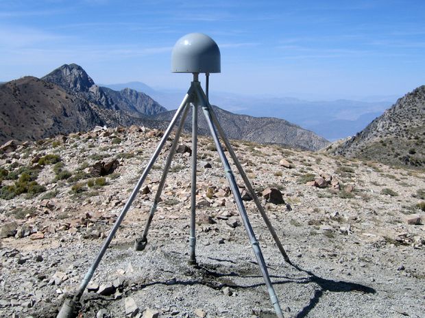
So I came across this IEEE Spectrum article. It would seem the California drought can cause the land to "flex" up and down up to 15mm (+/- 5 so 10 - 20mm).
"Climate change" sea level is supposed to be between 2.6mm and 2.9mm (see Wikipedia).
One wonders if the two are in fact related...?
As water moves out of one place, i.e., the ground, and into the atmosphere where it affects the temperature (reflection as clouds, green house gas as water vapor) one has to question how anyone can really "know" what the sea level is really supposed to be...
Imagine a weightless blob of water in the space station.
How would you calculate its exact diameter?
If you have ever seen videos of things like this, e.g., soap bubbles, its obvious that though the object is generally "round" it does not have a consistent or constant surface. If one adds a gaseous layer and material moving from inside the bubble (or water blob) to the gaseous layer and back while its contorting freely in space it becomes very difficult to imagine how one might accurately know the size of the bubble.
Add a crust and you have an interesting and inaccurately primitive simulation of the earth.
You also have one which does things in terms of climate models which I have never seen described.
The earth has a radius of about 6,371 km or 6,371,000 meters, or 6,371,000,000 mm.
So we are supposedly measuring sea level to an accuracy of about .00000005%.
The probability that humans can reliably measure something like this on a dynamic surface like the earth seems, well, vanishingly small particularly since the IEEE article indicates that the next closest technology for measuring water in the ground has a resolution of hundreds of kilometers.
One also imagines that the weight of the atmosphere itself must have some impact at that level of precision.
Similarly, I wonder if the solar wind "flexes" the surface of the planet as well.
I sure am glad that all of this is decided...

No comments:
Post a Comment